Cork
Cork County Council maps historic town walls in Youghal and Bandon
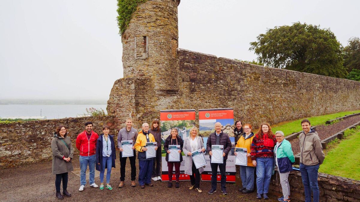
The initiative uses Geographical Information Systems (GIS) technology to document, map and promote the historic urban defences in the county.
The initiative uses Geographical Information Systems (GIS) technology to document, map and promote the historic urban defences in the county.